People’s travel and commuting have grown more challenging in today’s fast-paced, congested urban areas. Their lives are significantly made easier thanks to school bus tracking systems, which are powered by GPS tracking technology. These systems have completely changed the game and made travelling a lot safer and secure, especially for the children going alone to school and their activity places.
Tracks by Truckoom provides one of the most facilitated GPS tracking systems that can easily solve all these issues for the school authorities and help them have a secured environment for the children.
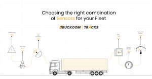
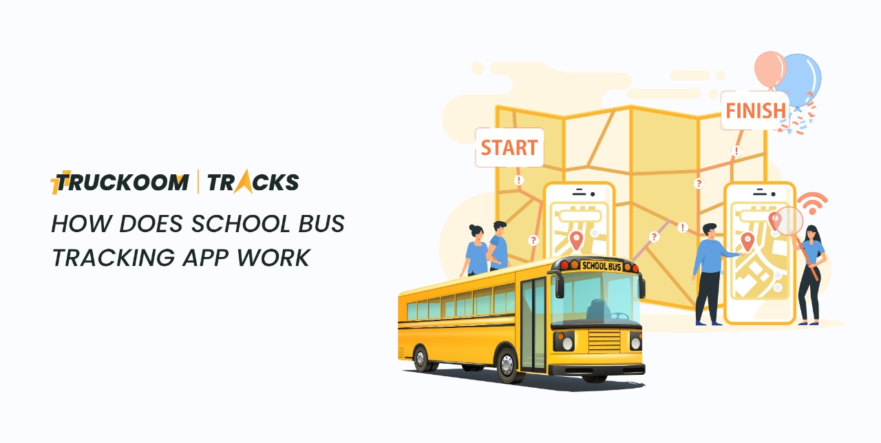
You can learn in only four steps how to use a tracking app and how to benefit the most from it. But before getting into that it is important to understand what GPS technology is and how does it work.
GPS TECHNOLOGY:
A receiver that picks up signals from a global satellite system—a group of satellites in geostationary orbits around the planet—is the basic building block of a GPS system. These satellites are constantly delivering radio signals to the earth.
The receiver calculates mathematically to determine its location on the planet using signals from many satellites. The receiver must be able to pick up signals from four or more satellites to provide an accurate calculation.
Now here’s how you can use tracking apps to the maximum:
CROWDSOURCING SYSTEM:
The ‘Geolocation’ feature in mobile apps, which is part of the GPS in smartphones, allows users to locate their phone, calculate routes, find locations, and get important local information.
Users only need to plan a trip or select a route after downloading the transit app, then tap Go.
When the bus leaves, the app recognizes it and automatically sends the server the location. It is feasible to forecast ETAs (estimated time of arrival) for stops further down the line using this broadcasted data for a variety of anonymous data points.
The forecasts are getting more precise as more individuals use the app.
GPS DEVICE-BASED SYSTEM:
Users can locate their phones, plan itineraries, find locations, and obtain crucial local information with the use of the ‘Geolocation’ feature in mobile apps, which is a component of the GPS in smartphones.
After downloading the transportation app, users merely need to hit Go to plan their trip or choose a route.
The software recognizes the bus as it departs and automatically communicates the location to the server. This broadcasted data for a variety of anonymous data points can be used to forecast ETAs (estimated times of arrival) for stops farther down the line.
As more people utilize the service, the projections become more accurate.
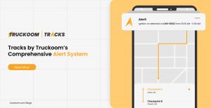
Tracks by Truckoom gives you power packed features which provide you real time alerts on web, mobile, email and SMS and these alerts help you track your vehicle as well as keep an eye on them to maintain security.
PLAY AND PLUG SYSTEM:
The USP of this system is that it spares participating bus transportation businesses the expense and hassle of installing expensive or specialized technology on their fleets. Tablet computers with an application pre-installed are handed to the bus drivers.
All they must do is stay logged in while travelling, and the servers are regularly updated with the vehicle’s location.
The ETAs that are transmitted to users of transit apps are then calculated using this data.
MACHINE LEARNING BASED SYSTEMS:
No matter how sophisticated the GPS gadget, calculating ETAs only using GPS technology has several drawbacks.
The weather and visibility conditions, event-based traffic, rush hour, protest marches, accidents, building projects, and other factors all have an impact on traffic in the real world.
In addition, the GPS signals themselves are hindered by skyscraper structures.
Powerful computer processors in machine learning-based systems are fed streams of historical data pertaining to bus locations, journey times, delays, and much more.
To arrive at a multi-variable, proprietary predictive algorithm that computes an ETA that is more in line with real-world conditions, the system then runs millions of simulations.
CONCLUSION:
Thus, whether they are straightforward crowdsourcing applications or intricate, algorithm-based solutions, GPS technology is at the core of most transit apps used for public bus transportation.
Like this, a GPS-based School Bus Tracking App with real-time bus tracking, precise ETAs, and notification systems ensures a straightforward, safe, and uncomplicated trip for kids while giving parents peace of mind.